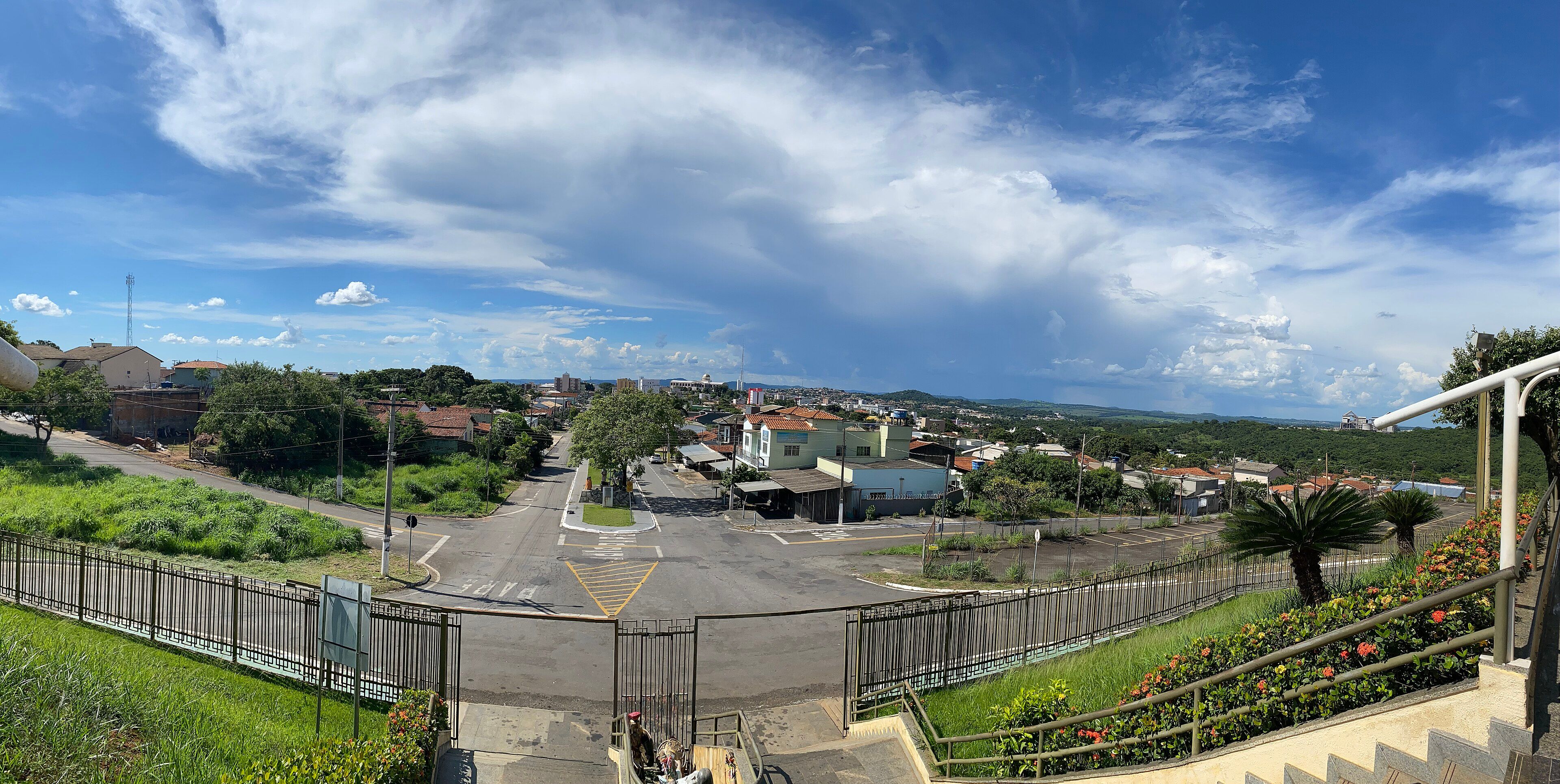
Plan your trip
Map of Trindade: attractions, churches and support points
See on the map where Trindade's main religious and tourist sites are and how they are spread across the city.
Updated on October 4, 2026 ✓ Information checked on October 4, 2026 adapted version of the Portuguese original
Interactive map of Trindade
Locations from OpenStreetMap. Filters only mark places whose information has been verified; a place without a tag may have the feature and simply not have been checked yet.
The map above brings together the tourist and religious sites described in this guide to Trindade, in the state of Goiás, Brazil. Click each marker to see the name and a link to the attraction’s page.
How the city is laid out
- Religious center: the Santuário Basílica and the Igreja Matriz host most celebrations. During the Pilgrimage, the Penitence Procession and the Candlelight Procession link the Matriz to the Shrine square.
- Urban Via Sacra axis: the 14 stations of the Via Sacra de Trindade (Stations of the Cross) line Av. Constantino Xavier, between the Basilica and the Igreja do Santíssimo Redentor, according to the Shrine.
- New Shrine: the construction site is about 1 km from the current Basilica, with a chapel and a large cross next to it (see the attraction).
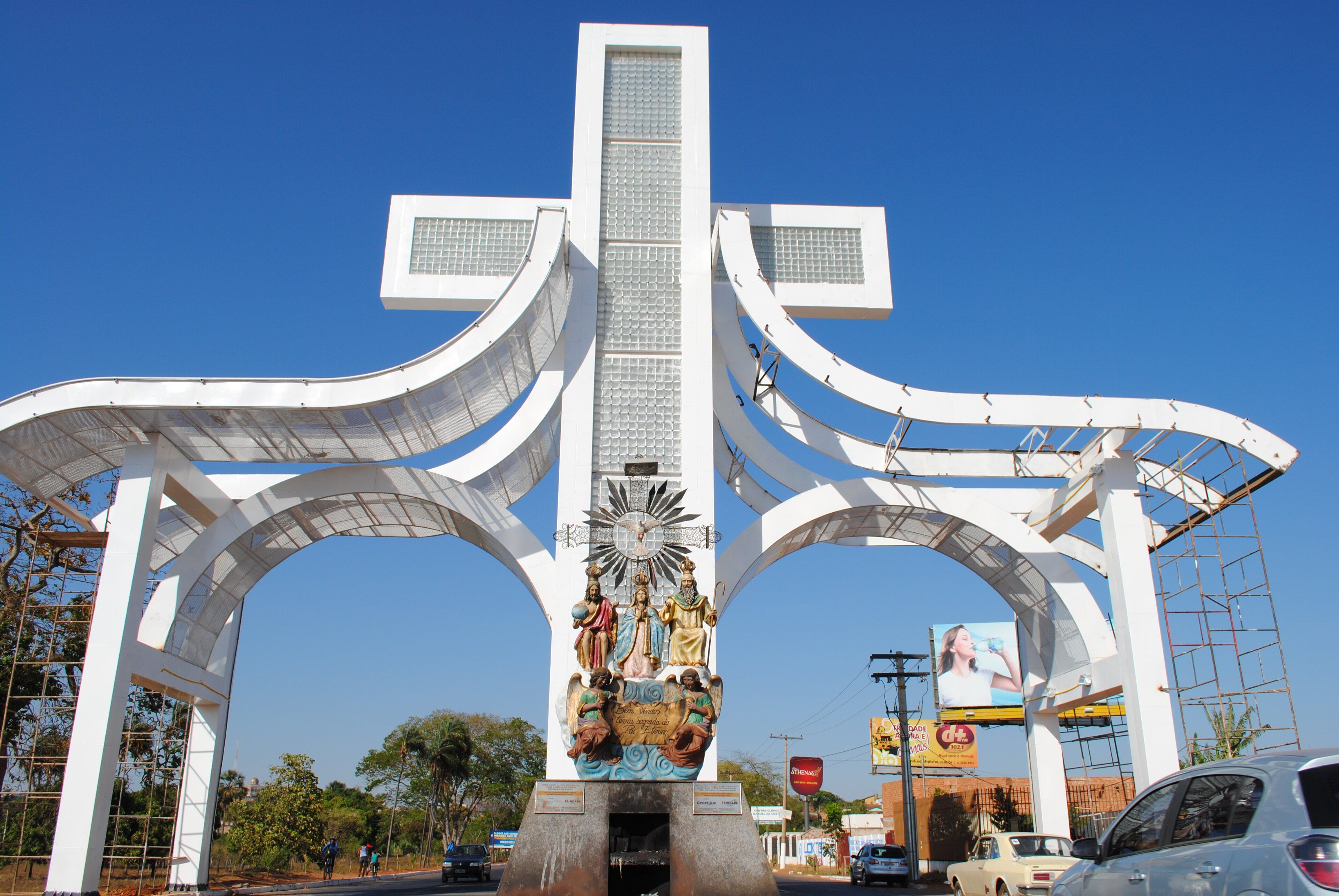
- City entrance: the Portal da Fé (Gateway of Faith), with the image of the Divino Pai Eterno and a cross more than 20 m tall.
- Rodovia dos Romeiros (GO-060, the Pilgrims’ Highway): the highway Via Sacra, with panels by Omar Souto, follows the pilgrims’ route. During the 2026 Pilgrimage, the Pilgrim Support Center operated at km 10, according to Agência Goiás.
Other places on the map
- Carmelo da Santíssima Trindade
- Vila São Cottolengo
- Parque Lara Guimarães and Carreiródromo Ada Cyra
- Museu da Memória de Trindade
- Municipal Market
To plan the route between sites, see the itineraries and the guide to getting around Trindade.
-
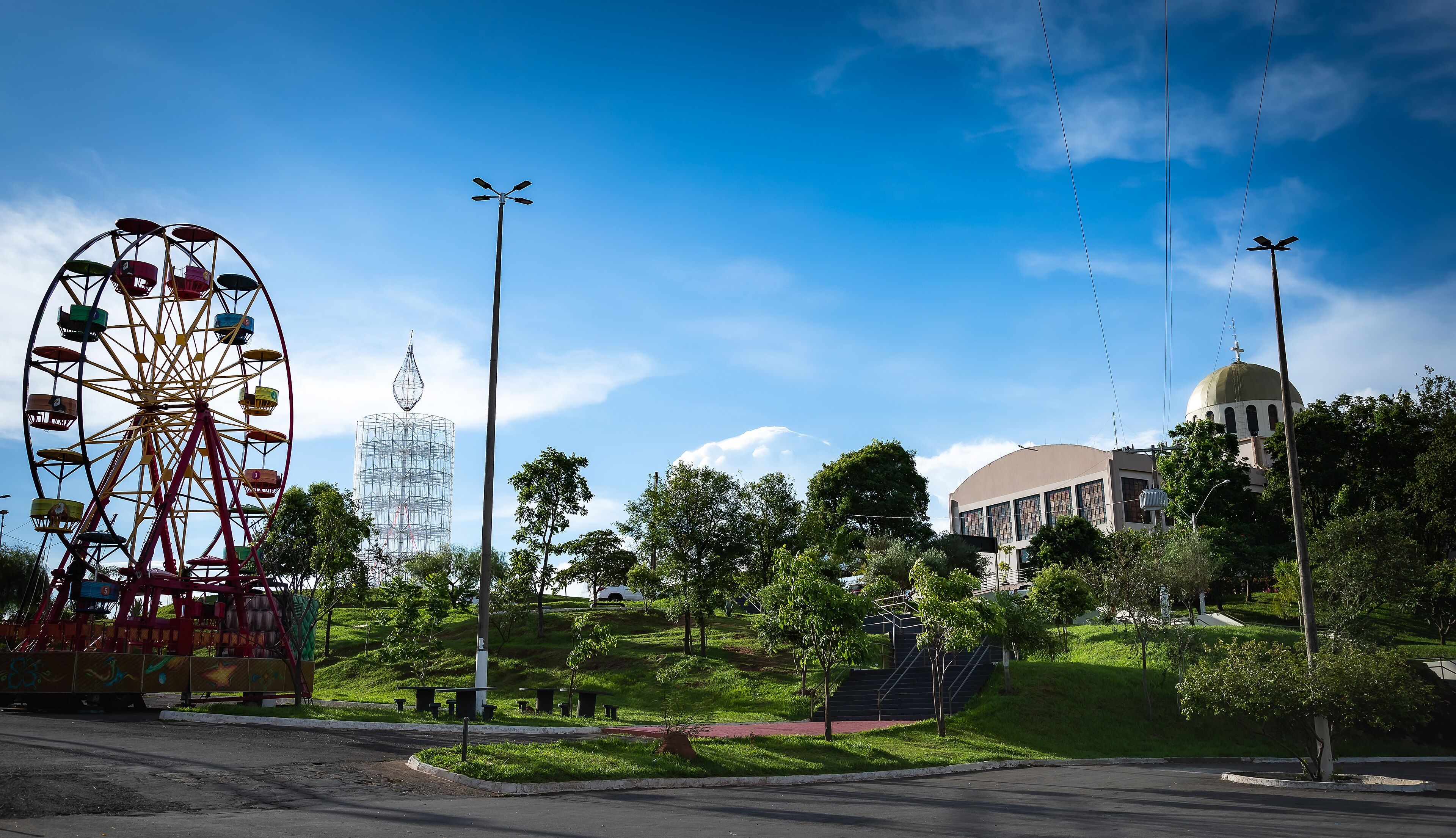 Things to do in Trindade, Goiás: attractions, churches and outings Trindade is the Capital of Faith of Goiás, but a visit goes beyond the Basilica. See what to visit, how to group the sights and where to check opening times. Read guide
-
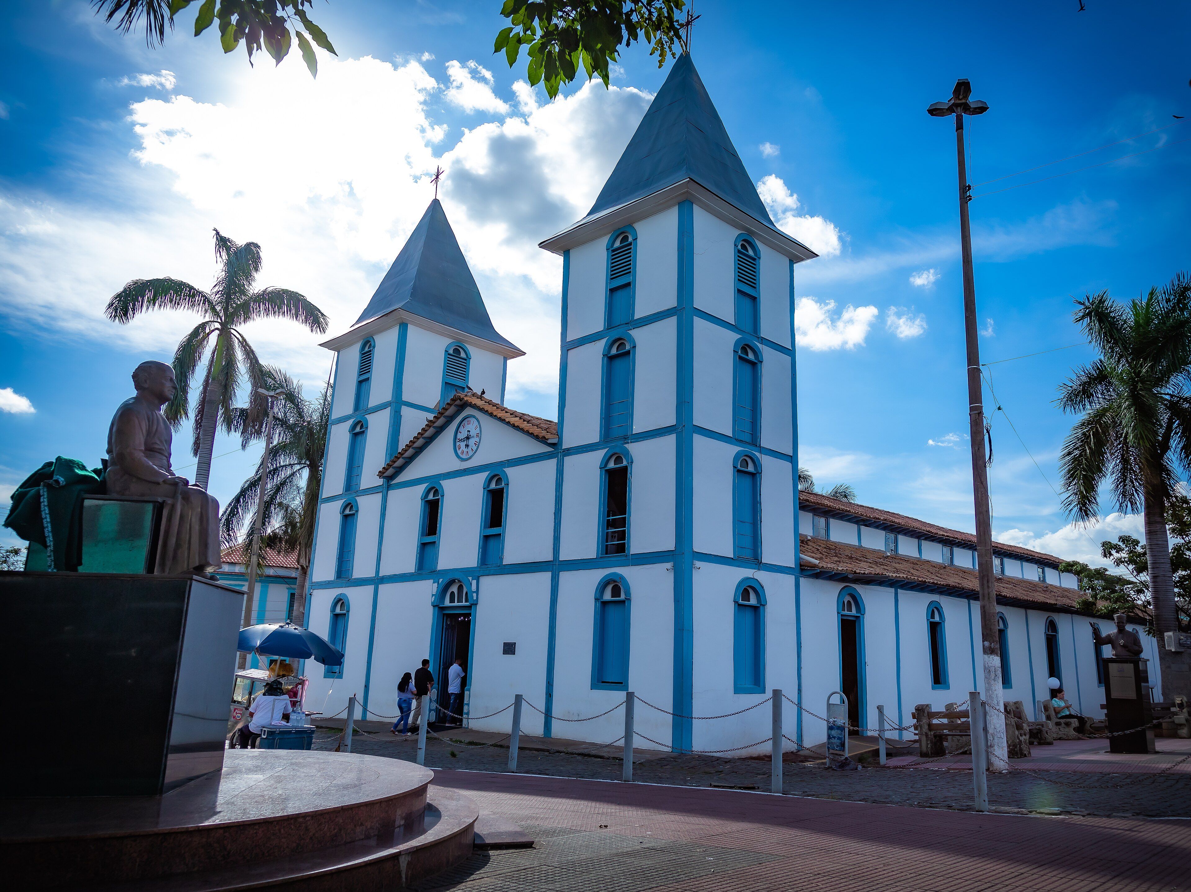 Religious tourism in Trindade: churches, shrines and places of faith All of Trindade revolves around devotion to the Divino Pai Eterno. Discover the city's places of faith, during and outside the Pilgrimage. Read guide
-
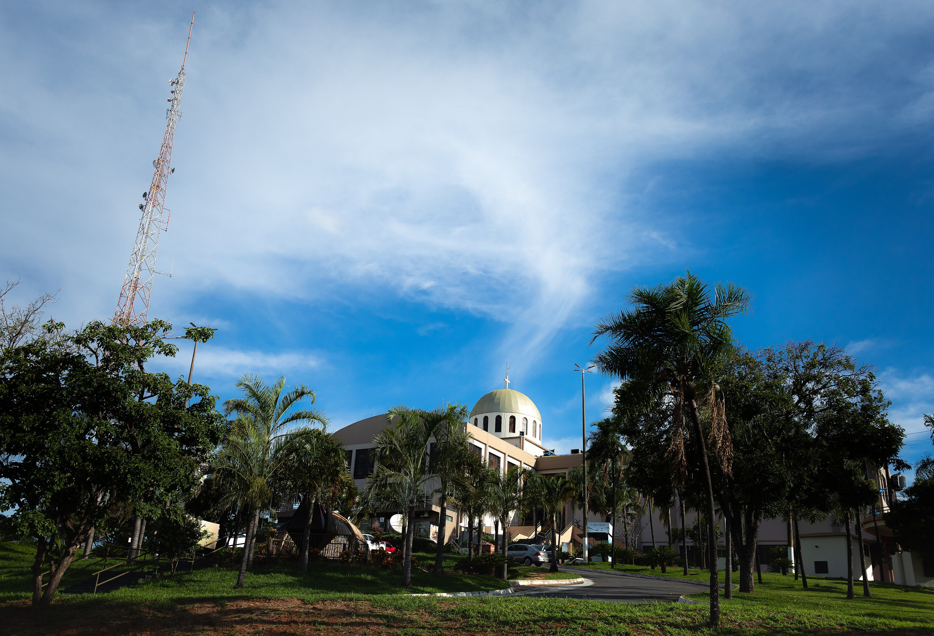 One day in Trindade: the essentials of the Capital of Faith In one day you can see the heart of Trindade: the Basilica, the Igreja Matriz and the urban Stations of the Cross, all downtown. Here is how to split morning, afternoon and evening. Read guide
Frequently asked questions
Are Trindade's attractions close to each other?
The main religious sites are downtown or near it. The urban Via Sacra links the Santuário Basílica to the Igreja do Santíssimo Redentor, and the New Shrine construction site is about 1 km from the Basilica, according to the Shrine.
Can I use the map for navigation?
Use the map for an overview. For routes and real-time traffic, especially during the Pilgrimage, we recommend a navigation app.
Keep reading
Keep planning
- Things to do in Trindade, Goiás: attractions, churches and outings Trindade is the Capital of Faith of Goiás, but a visit goes beyond the Basilica. See what to visit, how to group the sights and where to check opening times. Read guide
- Religious tourism in Trindade: churches, shrines and places of faith All of Trindade revolves around devotion to the Divino Pai Eterno. Discover the city's places of faith, during and outside the Pilgrimage. Read guide
-
 How to get to Trindade: by car, bus, plane and on foot Trindade sits right next to Goiânia. Almost every journey passes through the state capital and ends on the GO-060, the Pilgrims' Highway. Read guide